School GIS · Fraser Ranking
Bowen Island Community
Bowen Island. Fraser Institute ranking context with BurnabyHouse school location and catchment boundary when matched.
School map & catchment
Green area shows the matched catchment polygon. Aligned to our GIS school point.
Latest ranking
Nearby active listings
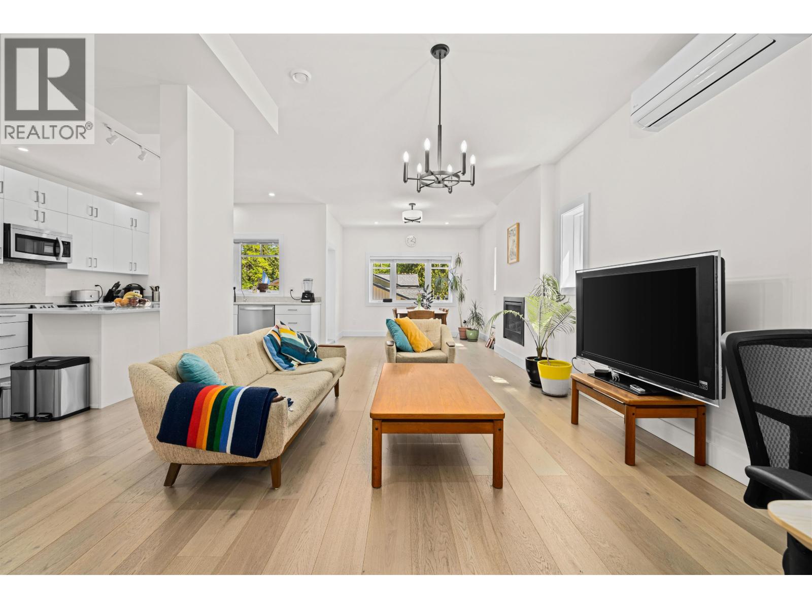
1096 FOXGLOVE LANE, Bowen Island
C$990,000 ·
Single Family ·
~217 m
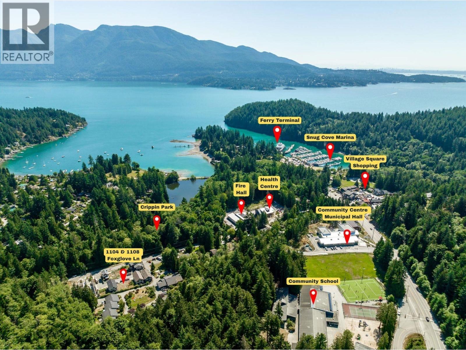
1104-1108 FOXGLOVE LANE, Bowen Island
C$1,098,000 ·
Vacant Land ·
~228 m
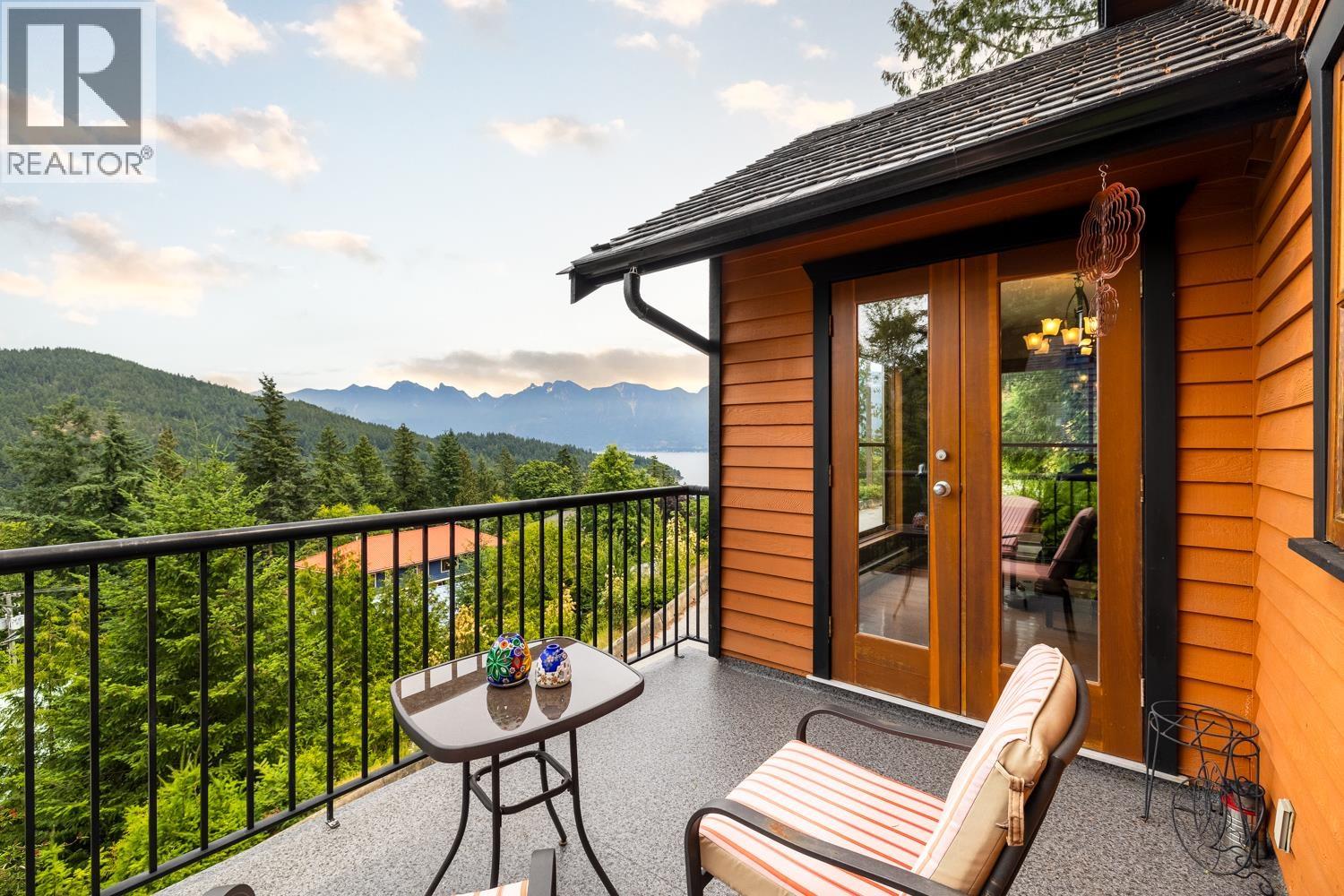
571 ROOCROFT LANE, Bowen Island
C$1,345,000 ·
Single Family ·
~332 m
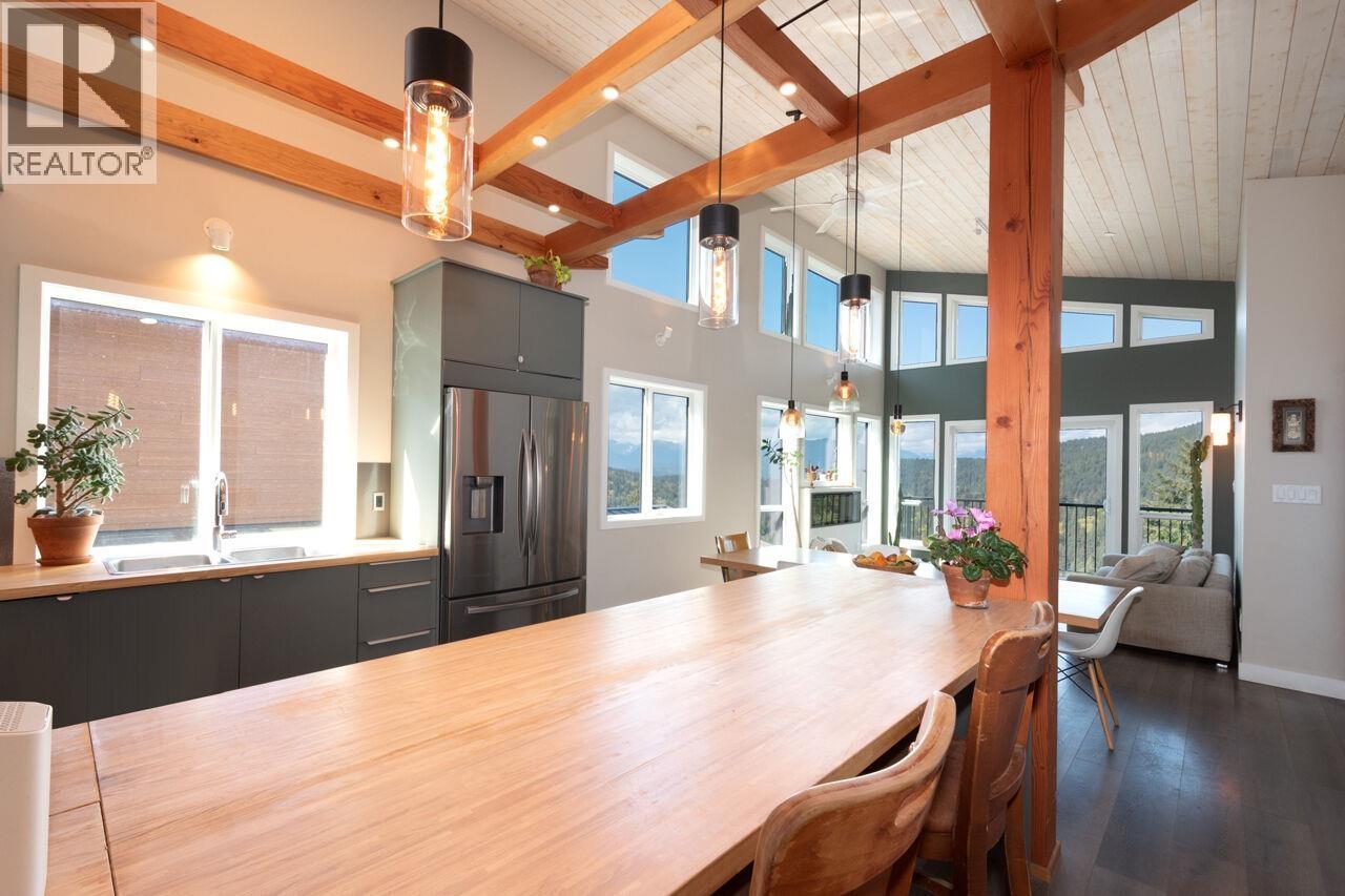
897 RIVENDELL DRIVE, Bowen Island
C$1,689,000 ·
Single Family ·
~338 m
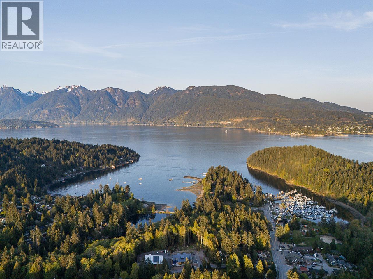
885 RIVENDELL DRIVE, Bowen Island
C$1,880,000 ·
Single Family ·
~364 m
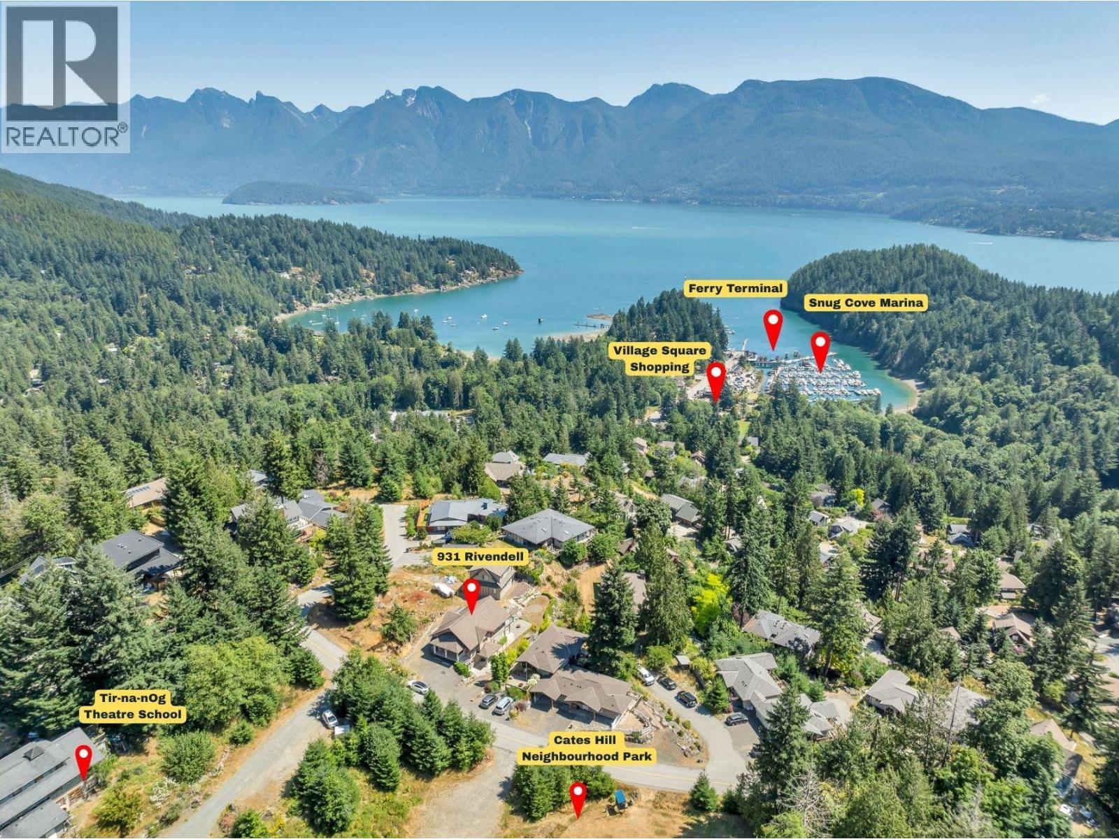
931 RIVENDELL DRIVE, Bowen Island
C$1,698,800 ·
Single Family ·
~367 m
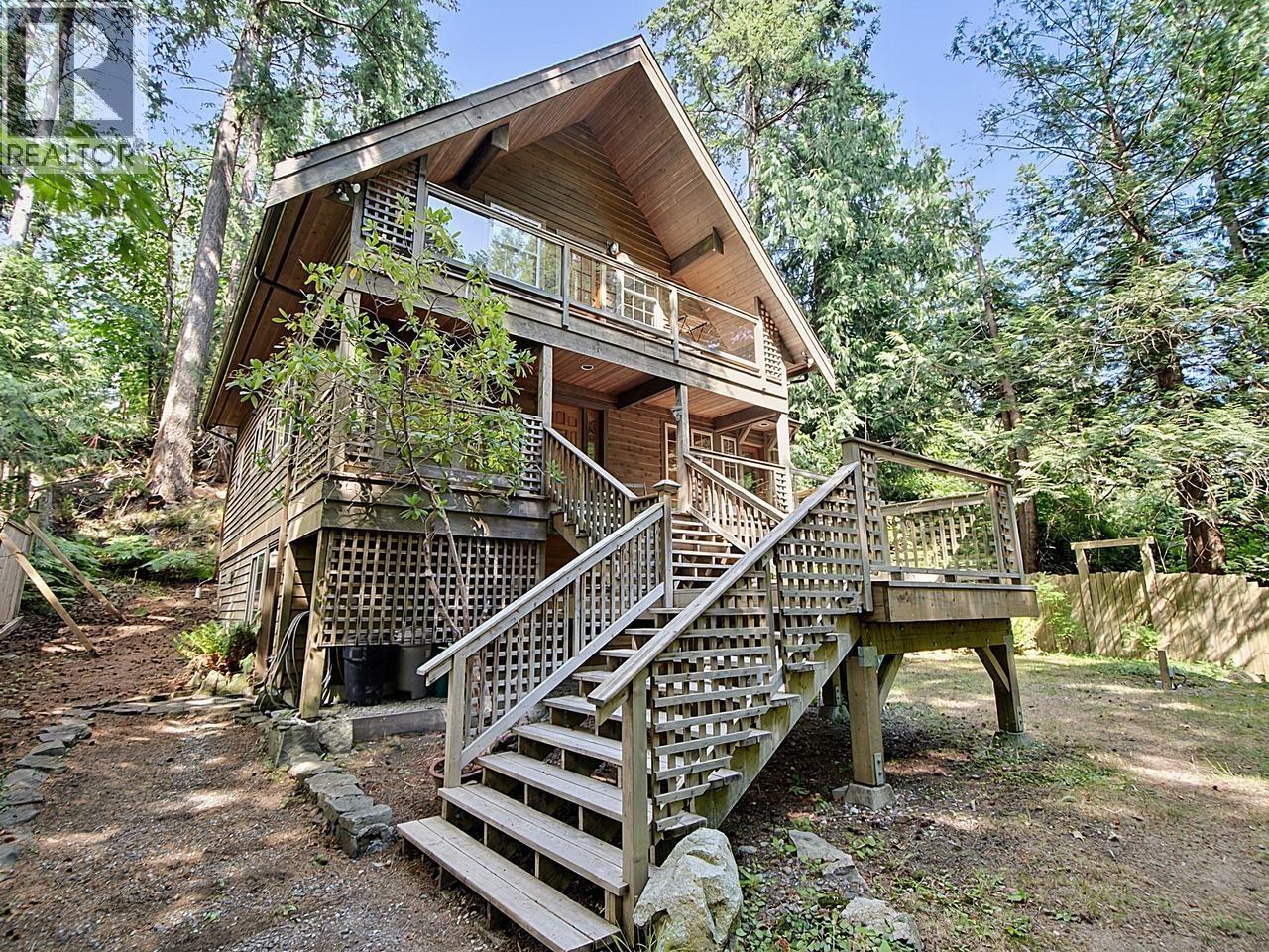
1099 MILLER ROAD, Bowen Island
C$1,320,000 ·
Single Family ·
~404 m
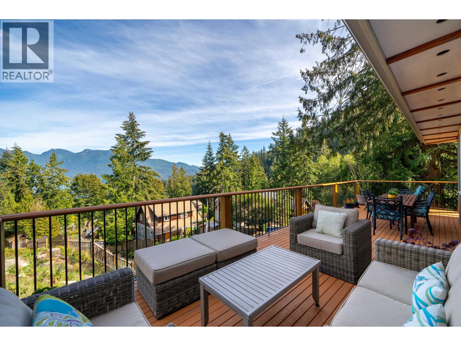
947 VILLAGE DRIVE, Bowen Island
C$1,922,000 ·
Single Family ·
~491 m
Ranking source: Fraser Institute / CompareSchoolRankings.org. Catchment GIS is compiled from open school-boundary and school-point datasets for real-estate context only.